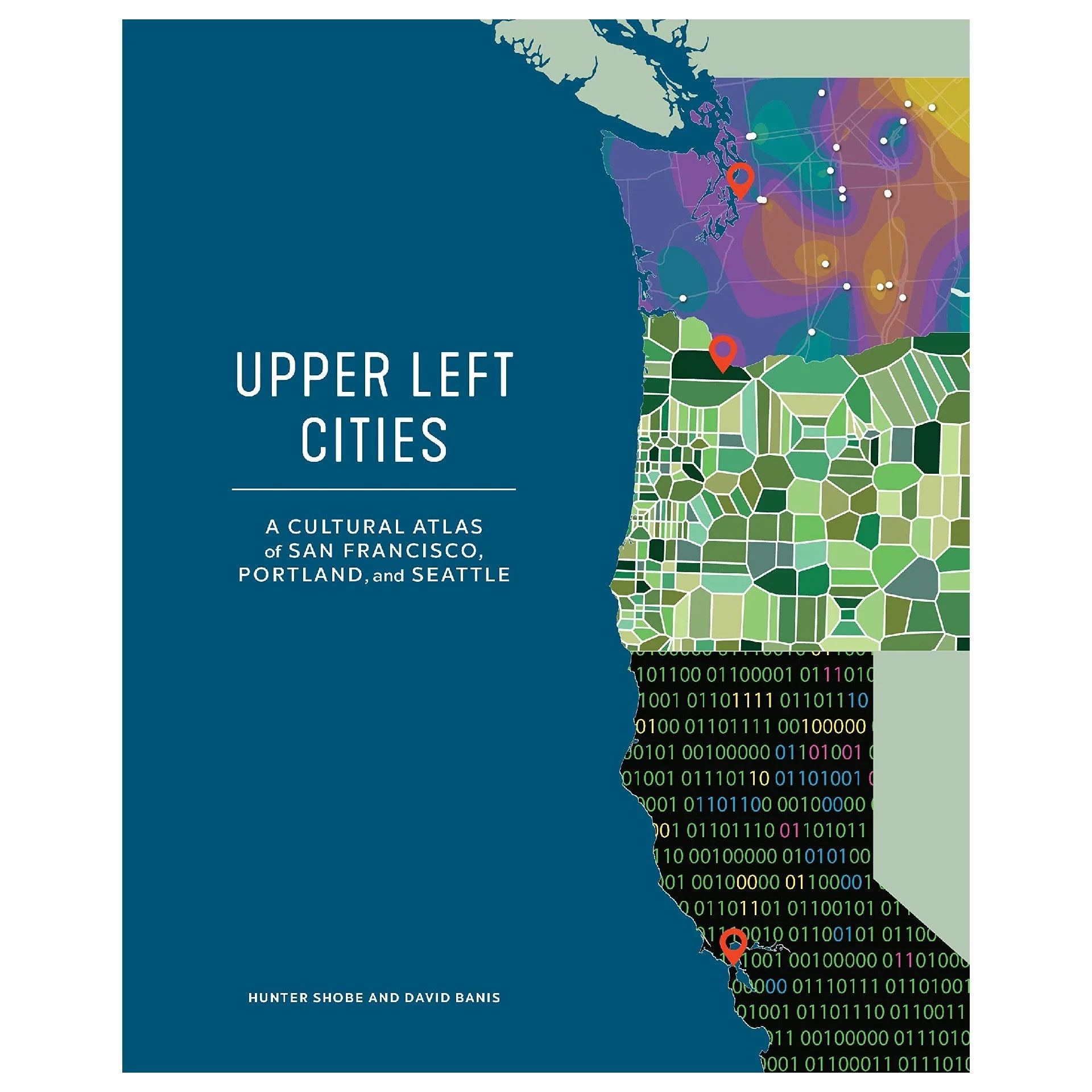
Upper Left Cities
Upper Left Cities redefines modern cartography by going into uncharted territory to create a narrative about three great cities through informative and detailed infographic maps.
Explore and compare San Francisco, Portland, and Seattle through:
- Wildlife and city trails
- Voting records
- Commutes
- Marathon routes
- Food and drink patterns
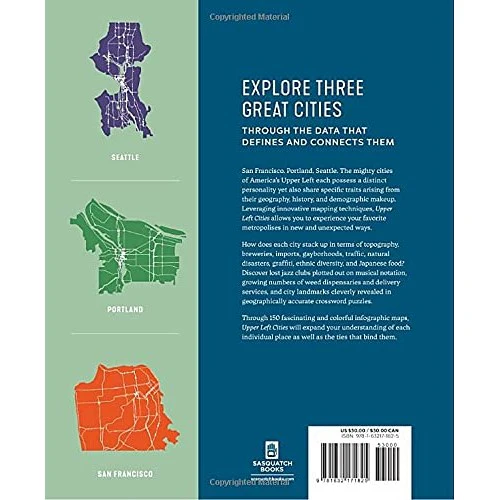
From the team that brought you Portlandness, this cultural atlas includes more than 150 maps, each using data around a given topic and then translating that to a creative and often unexpected visual format. The result is a perfect blend of form and function, each map is meticulously and ingeniously designed.
The collection of maps cover: history, pop culture, geography, social and economic issues.
Details:
- Hardcover
- Dimensions : 8.28 x 0.81 x 10.32 inches
Hunter Shobe is a cultural geographer and assistant professor at Portland State University. He holds a PhD in geography from the University of Oregon and has more than twenty years of experience researching the cultural, political, and economic dimensions of how people connect to places and environments.
David Banis has managed the Center for Spatial Analysis and Research in the Geography Department at Portland State University since 2006, working with a wide variety of partners at the federal, state, and local levels. His work explores the diverse ways that cartographers can tell stories with maps, focusing on the mapping of nontraditional subjects.
More Images
Upper Left Cities
Upper Left Cities redefines modern cartography by going into uncharted territory to create a narrative about three great cities through informative and detailed infographic maps.
Explore and compare San Francisco, Portland, and Seattle through:
- Wildlife and city trails
- Voting records
- Commutes
- Marathon routes
- Food and drink patterns
From the team that brought you Portlandness, this cultural atlas includes more than 150 maps, each using data around a given topic and then translating that to a creative and often unexpected visual format. The result is a perfect blend of form and function, each map is meticulously and ingeniously designed.
The collection of maps cover: history, pop culture, geography, social and economic issues.
Details:
- Hardcover
- Dimensions : 8.28 x 0.81 x 10.32 inches
Hunter Shobe is a cultural geographer and assistant professor at Portland State University. He holds a PhD in geography from the University of Oregon and has more than twenty years of experience researching the cultural, political, and economic dimensions of how people connect to places and environments.
David Banis has managed the Center for Spatial Analysis and Research in the Geography Department at Portland State University since 2006, working with a wide variety of partners at the federal, state, and local levels. His work explores the diverse ways that cartographers can tell stories with maps, focusing on the mapping of nontraditional subjects.
Product Information
Product Information
Shipping & Returns
Shipping & Returns
Description
Upper Left Cities redefines modern cartography by going into uncharted territory to create a narrative about three great cities through informative and detailed infographic maps.
Explore and compare San Francisco, Portland, and Seattle through:
- Wildlife and city trails
- Voting records
- Commutes
- Marathon routes
- Food and drink patterns
From the team that brought you Portlandness, this cultural atlas includes more than 150 maps, each using data around a given topic and then translating that to a creative and often unexpected visual format. The result is a perfect blend of form and function, each map is meticulously and ingeniously designed.
The collection of maps cover: history, pop culture, geography, social and economic issues.
Details:
- Hardcover
- Dimensions : 8.28 x 0.81 x 10.32 inches
Hunter Shobe is a cultural geographer and assistant professor at Portland State University. He holds a PhD in geography from the University of Oregon and has more than twenty years of experience researching the cultural, political, and economic dimensions of how people connect to places and environments.
David Banis has managed the Center for Spatial Analysis and Research in the Geography Department at Portland State University since 2006, working with a wide variety of partners at the federal, state, and local levels. His work explores the diverse ways that cartographers can tell stories with maps, focusing on the mapping of nontraditional subjects.